Lesmahagow Land Management Plan
Lesmahagow Land Management Plan

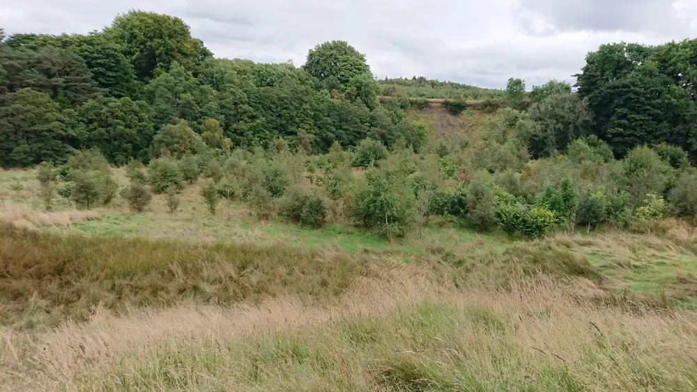
To meet the UK Forestry Standard, this new plan sets out proposals to be undertaken by Forestry and Land Scotland in Lesmahagow forest, South Lanarkshire. The forest (shown on Map 1A) covers 1079.93 hectares. It was a collection of 7 former farm properties acquired over the period 2008 to 2012. Woodland creation planting was completed between 2012 and 2015, with a significant proportion (~60%) of the land retained as open ground.
Key management priorities for the plan area:
- The production of a range of timber products including structural/high grade timber.
- Continued protection & management of Coalburn Moss lowland raised bog Site of Special Scientific Interest.
- Expansion of the forest road network for management access to established woodlands.
- Pre-emptive removal of Larch species (where appropriate), adhering to FLS National Strategy.
- Continued management for woodland biodiversity, including appropriate management of ancient woodland and consolidation of natural reserves and long-term retentions.
- Continued maintenance of current access provision and promoting responsible use of the forest by visitors.
Timeline of the plan
- May 2021: Internal Scoping Meeting to identify key considerations for next plan.
- June-September 2021: Baseline desk survey, site attribute surveys and site meetings.
- November 2021-April 2022: Draft plan production.
- May 2022-August 2022: Draft plan presentation to internal teams, revisions and further consultations with stakeholders.
- September 2022: Consultation with local community; this included a public consultation webpage, on-site posters & correspondence sent to key stakeholders.
- September 2022: Submission of plan to the regulator Scottish Forestry with a view to approval. This process included further consultation with the local community and other statutory stakeholders, and publishing of the plan on Scottish Forestry’s public register for 28 days.
- May 2023: Plan formally approved and commencement of 10 year delivery.
Approved Land Management Plan documents
Maps
- Map 1A: Lesmahagow forest location and sub-blocks A3
- Maps 2A – 2D: Designations A3
- Maps 7A – 7D: Concept A3
- Map 8A: Management coupes – coupe number A1
- Map 9: Ten year thinning plan A1
- Map 10: Future habitats and species A1
- Map 11: Proposed woodland creation/expansion A1
- Map 12: Proposed forest access A1
- Map 13: Ten year timber haulage A1
- Map 15: Visitor zones and path networks A1
Get in touch
If you would like further information or have any questions, please contact:
Planning Team
Forestry and Land Scotland
Five Sisters House
Five Sisters Business Park
West Calder
EH55 8PN
Email: enquiries.central@forestryandland.gov.scot