Wednesday, 21 Jan 2026
Red Squirrel Appreciation Day falls on the 21 January this year and we're sharing some of our favour…
Cold and snowy conditions are impacting access to many of our forest car parks. These access routes may be very icy and untreated. Caution is advised for all users.
The Wades Road Trail has a weight restriction on the pedestrian bridge over Allt a Chailleach. Please follow all safety notices on the bridge.
Welcome to waterfall wonderland! The Abhainn Righ (Aa-win-uhn-ree) meaning ‘river of the king’ cascades down the hill in a series of steps.
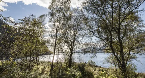
Walk uphill for sweeping views over Loch Linnhe and the hills of Ardgour. Visit the special accessible viewing area by the car park for one of the best spots to see red squirrels leaping among the trees.
Hidden in the depths of the forest here are the remains of Corrychurrachan - a township that dates back as far as 1522.
Meet some of Inchree’s most popular residents at the red squirrel viewing screen close to the car park. The screen is at the end of a short (5 metre path), with a wide, firm and smooth gravel surface.
For a longer walk explore the attractive birch woods beyond the falls. Cross ‘An Drochaid’ (An Droch-itch – the bridge) for lovely views over the loch.
Climb up beside the Abhainn Righ gorge to the remarkable Inchree Falls and look out across Loch Linnhe.
Uneven gravel surface. One long steep slope with some rocky steps. Occasional rocky section and exposed tree roots. Includes two bridges.

Allow 1 hour
The Abhainn Righ cascades down the hill in a series of steps, forming eight mighty waterfalls: they’re particularly impressive after heavy rain.
The Wades Road Trail has a weight restriction on the pedestrian bridge over Allt a Chailleach. Please follow all safety notices on the bridge.
Follow the route of an 18th century military road through the shady larch forest. You’re rewarded with great Atlantic views from the open hillside above.
Long steep slopes for 400m. Uneven gravel surface, with some exposed tree roots and rocky sections. Includes two bridges.

Allow 1 ½ hours
You’ll be following in the footsteps of 18th century soldiers along this trail: it follows part of the network of roads built to control the Highlands after the Jacobite Rebellion of 1715. They’re named after General Wade, who directed the project – this road was actually built by his successor, General Caulfield.
The nearest public toilets are at the Corran Ferry.
The charges to park at Glen Righ are:
Blue Badge holders park free. Please display your Blue Badge clearly.
Payment can be made using card or RingGo.
Annual parking passes are available for this site, visit our parking page for more information.
We want all our visitors to have a safe and enjoyable time at our forests. If you plan on venturing into the water here, please read our safety advice first.
Turn off the A82 between Fort William and Ballachulish into Inchree village - ½ mile south of Corran Ferry. The car park is at the end of the public road.
PH33 6SG is the nearest postcode.
Buses heading south from Fort William stop at the road end on the A82, a 15 minute walk along a quiet road from the forest. Plan your journey at Traveline Scotland.
Have a question or suggestion for improvement?

A perfect picnic spot on your long drive to the West Highlands

A forest glen surrounded by mountains

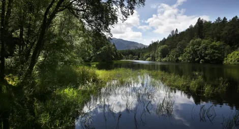
Towering redwoods surround this tranquil lochan