Wednesday, 21 Jan 2026
Red Squirrel Appreciation Day falls on the 21 January this year and we're sharing some of our favour…
If you have a dog, please keep it under control so it does not worry the farm animals on site.
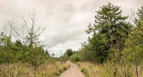
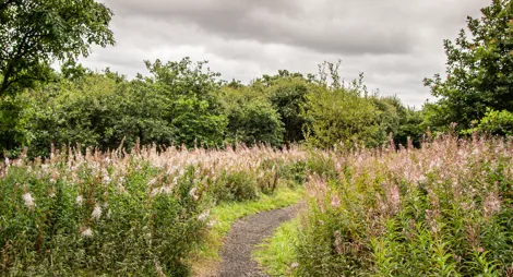
Woodland and grassland can be found on the banks of the Moosewater Burn today. The woodland is home to birds, butterflies and wildflowers. This area was once covered with smoking furnaces and noisy coal mines. Wilsontown Ironworks was one of the most important sites of Scotland’s Industrial Revolution.
A short stroll through young broadleaves alongside the Moosewater Burn and passing the site of the Wilson’s grand mansion.
Uneven grassy surface with muddy parts. One short fairly steep slope.

Allow ¼ hour
Look out for wildflowers like beautiful orchids in the summer.
Explore the site of Wilsontown’s historic ironworks and the settlement where its workers lived and mined.
Wide, firm gravel surface throughout with some loose stones. Short moderate slopes but plenty of resting places. One quiet road crossing.

Allow ½ hour
You’ll be walking through the heart of Wilsontown’s industry along this trail, past the site of the forge and rolling mill and the workers’ houses on Quality Row. The route also takes you through the area pock-marked with bell pit mines. The trail starts across the road from the car park and a short link path will take you to the start of the blue waymarkers.
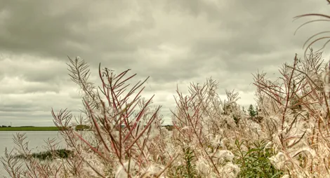
Wander through the old industrial landscape and enjoy views across the wider area when you reach the pond on the edge of the site.
Firm gravel surface throughout. Some sections may be slightly loose or muddy. Long moderate slope for 400m. Includes a road crossing.

Allow ¾ hour
This trail starts across the road from the car park. A short link path will take you to the start of the orange waymarkers. Please note this is a linear route returning along the same path.
There are shops, places to eat and public toilets in Forth village, about ½ mile (800 metres) away.
There is no charge to park in this car park.
If travelling on the A706, look out for the sign for 'Wilsontown, Braehead, B7016' just north of Forth village. Our car park is only a few hundred metres along Wilsontown Road before entering Rootpark village.
Nearest postcode: ML11 8ER
Buses go to the village of Forth, about ½ mile (800 metres) away. Check Traveline Scotland for details.
Have a question or suggestion for improvement?

Coal mining country reclaimed by woodland and wildlife

Escape from the buzz of the motorway in this young forest

Enjoy a gentle lochside stroll on the edge of Limerigg Wood