Wednesday, 21 Jan 2026
Red Squirrel Appreciation Day falls on the 21 January this year and we're sharing some of our favour…
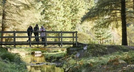
Tain Hill may sound daunting but most of the climbing has already been done by the time you arrive at the car park. What's left is a pleasant, steady ascent through sheltered pinewoods to a fabulous view over the Dornoch Firth. Willowy ferns, soft mosses and crisp heathers line the forest floor and small birds - crossbills and a variety of tits - call out through the trees.
A short climb through the twisted pines to Tain Hill, where Pulpit Rock provides a fine vantage point across Tarbet Ness and the Cromarty Firth.
Uneven gravel surface throughout. Some fairly steep slopes.

Allow ¾ hour
The nearest public toilets are in Tain village.
There is no charge to park in this car park.
Tain Hill is two miles west of Tain in Easter Ross, just off the A9. From the Tain bypass you'll see brown signs to 'Tain Hill forest walk'. Turn off the A9 here and follow Quarry Road inland for 1 ¼ miles (2 km). The car park is at the end of the tarred road at grid reference NH 753 813.
IV19 1PX is the nearest postcode, halfway along Quarry Road.
Tain is served by several trains and buses from Inverness and Thurso, and is about 2 miles (3.2 km) from the forest. See Traveline Scotland for details.
Have a question or suggestion for improvement?

Gentle strolls among the pines around Aldie Burn

Towering pines and a bed of heather ten minutes from the beach

Follow thousands of years of history along this ancient drove road