Wednesday, 25 Feb 2026
Guest blog by Beat Forester Sam Brown. There has been a lot going on in the glen over the past two y…
Following Storm Bram, all mountain bike and walking trails are closed until the trails have been inspected. This is due to numerous reports of trees down over the trail network.
A quiet forest of mature trees, with some of the best views in the area across the Tweed Valley.
A popular starting point for the climb to the Three Brethren. An impressive hilltop home to three stone cairns. This well-loved landmark was built in the 1500s by the lairds of Yair, Selkirk and Philiphaugh. It was built to mark the point where their properties met.
Climb to the The Three Brethren to enjoy views across the surrounding countryside. To get there, follow signs through Yair Forest for the Southern Upland Way. It’s about 9 miles (14.4 km) to The Three Brethren and back, with some stiff climbing along the way. The full journey takes approximately 5 hours. The full journey takes approximately 5 hours. Find out more at WalkHighlands.
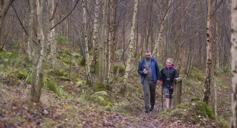
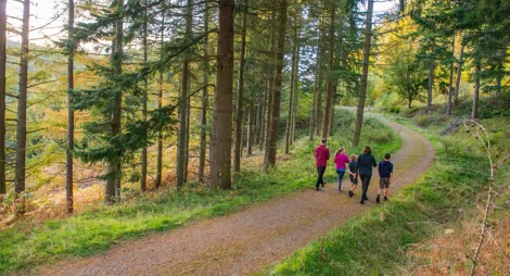
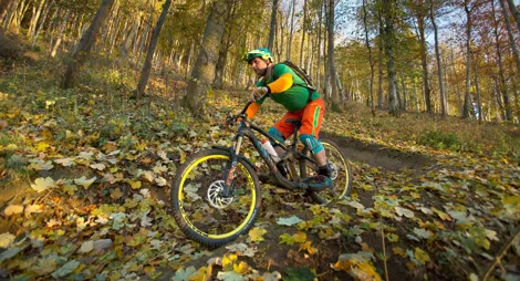
A forest for everyone, Yair is a great area for cycling, walking and horse riding with miles of tracks to explore. Find out more about how we’re working to create ideal environments for walking, mountain biking and horse riding in the Tweed Valley Forest Park.
The nearest public toilets are in Selkirk or Galashiels.
There is no charge to park in this car park.
The car park is on the south side of the A707, halfway between Selkirk and Caddonfoot.
TD1 3PW is the nearest postcode.
Have a question or suggestion for improvement?

A riverside trail through protected, ancient woodland

Stunning views and quirky history at a butterfly hotspot

The best downhill and enduro mountain-biking in the area