Wednesday, 21 Jan 2026
Red Squirrel Appreciation Day falls on the 21 January this year and we're sharing some of our favour…
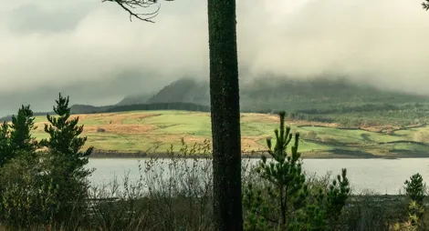
This large conifer forest is dotted with historic remains that give us a picture into Galloway's past. Visit Polmaddy settlement to find the ruins of a traditional farming village. The village is tucked within a loop of the lovely Polmaddy Burn. The burn winds its lazy way through the woodland. It then opens out to give wonderful views of the surrounding countryside.
Explore the atmospheric ruins of a traditional Galloway farming village abandoned over 200 years ago. It is a beautiful setting in the lee of the Rhinns of Kells.
Uneven grassy surface with significant muddy sections. Includes short fairly steep slopes and one narrow bridge.

Allow ½ hour
This trail winds among the ruins of the historic village. The settlement is in a picturesque loop of the Polmaddy Burn. Look out for the village inn, water mill, millpond and corn kilns beside the old pack road. There is also an oldpilgrimage route that once led from Strathclyde to Whithorn. On site you’ll find interpretation panels about the settlement’s fascinating history., and you can download this leaflet to help you explore.
The mill has royal connections. Scottish King, Robert the Bruce, found refuge in the village shortly before his first victory against the English at Glentrool in 1307. In gratitude, Bruce later rewarded the miller and his wife with the freehold of the mill.
The nearest public toilets, cafés and shops are at Carsphairn or St John’s Town of Dalry.
There is no charge to park in this car park.
Polmaddy lies on the west side of the A713, half way between St John's Town of Dalry and Carsphairn.
DG7 3SY is the nearest postcode.
Have a question or suggestion for improvement?

Watch for wildlife or gaze at the stars

The best of Galloway Forest Park from the comfort of your car

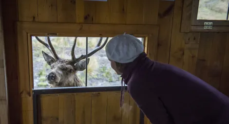
Get up close to some of Galloway's resident deer