Wednesday, 21 Jan 2026
Red Squirrel Appreciation Day falls on the 21 January this year and we're sharing some of our favour…
Caution: there is windblown trees at various points across the hill and the hill path network. Assessment and work to clear these is ongoing. Anyone accessing Bennachie should do so with caution and not put themselves at risk to climb over or under any windblow they come across.
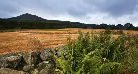
If you want to really get to know Bennachie, this is the place. The trails here are quieter than those from Bennachie Centre. There are stunning views and plenty of choices for long treks in the hills.
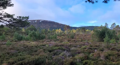
Up through beautiful woods to heather hills and superb views from the top of Millstone Hill.
A very steep, rough and rocky trail, with large steps and roots. Generally narrow, and has a narrow timber walkway. Can be wet and muddy.

Allow 2 ½ hours
There are superb 360-degree views from the top of Millstone Hill, taking in the main bulk of Bennachie to the north and the River Don to the south.
This grand, adventurous route crosses Millstone Hill and onto the landmark of the Mither Tap. Stunning views.
A very steep, rough and rocky trail, with large steps and roots. Generally narrow, and has a narrow timber walkway. Can be muddy.

Allow 4 hours
As you cross the valley at Heather Brig, between the two peaks, there’s a great view stretching out to the west along Lord’s Throat. Our suggested time is for a return trip from Donview, but with two cars you could come down from Mither Tap to Bennachie Centre.
There are places to eat in Monymusk and Inverurie. The nearest public toilets are at Bennachie Visitor Centre and in Inverurie.
The charges to park at Donview are:
Blue Badge holders park free. Please display your Blue Badge clearly.
Payment can be made using coin, card or RingGo.
Annual parking passes are available for this site, visit our parking page for more information.
Our Stay the Night scheme now runs right through the year. This means self-contained motorhomes and campervans will be able to park overnight for one night in some of our car parks.
There is a £10 charge to Stay the Night at this car park. Payment can be made through RingGo with details of how to do this at each car park.
To help plan your stay, please see the details below:
Please visit our Stay the Night page for full details, participating locations, best practice, and terms and conditions of use.
From Monymusk, head north on a minor road towards Pitfichie. After about 1 mile (1.6 km), turn right at a cross roads and follow signs for ‘Chapel of Garioch’ and Lord’s Throat’. After about ¾ mile (1.2 km) take a left turn signposted ‘Donview Forest Walks’. The car park about 1 ½ miles (2.4 km) along this road, at grid reference NJ 672 189.
Nearest postcode: AB51 7JE
Have a question or suggestion for improvement?

The best place to start for Bennachie first-timers

A favourite start point for those climbing Oxen Craig

Walking and mountain biking across granite hilltop trails